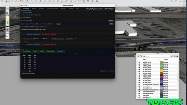
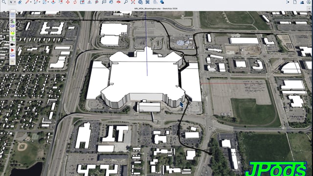
JPods3D is a SketchUp plugin that lets students and planners build, simulate, and visualize solar-powered transit networks on real terrain.
JPods3D turns SketchUp into a transit design studio. Place stations on satellite terrain, connect guideways, validate the physics, and watch pods move — all before breaking ground.
Learn transit engineering by building networks in your own neighborhood. Place stations at real locations, connect them with solar-powered guideways, and simulate passenger flow. The plugin teaches physics, geometry, and infrastructure design through hands-on 3D modeling.
Evaluate JPods networks against real terrain, traffic data, and crash corridors. Generate bills of materials. Test capacity at stations. Export simulation data for economic analysis. See what your city looks like with solar-powered transit above the streets.
Students build a complete JPods network in eight steps — from geolocating the model to watching pods animate along the guideways.
JPods3D includes an agent team that validates, routes, and balances your network automatically.
Network validator and load balancer. Reviews every build for safety, connectivity, and clearance height. Flags defects before you animate.
Router and trip planner. Assigns passengers to paths, balances demand across stations, and calculates travel times through the network.
Vehicle navigator. Controls individual pods along guideways, manages station parking, handles merges and diverges in real time.
JPods3D networks designed on real terrain in cities across America. Click any video to watch it full size.
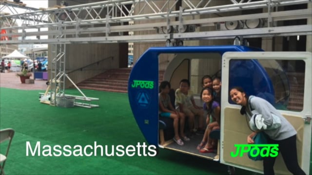
The concept, the technology, the mission — in a minute and a half.
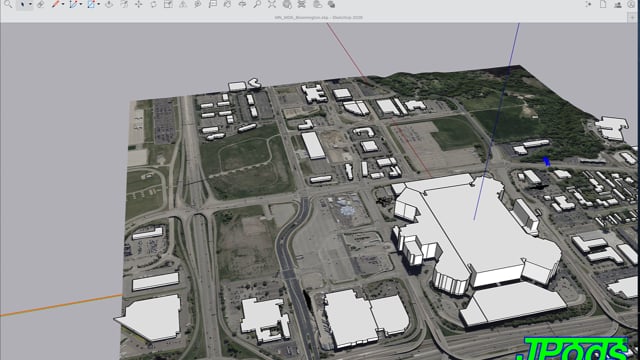
An 8-station network connecting IKEA, Mall of America, hotels, and Walmart. The first complete JPods3D demonstration network.
What does a city look like when solar-powered transit replaces car dependency?
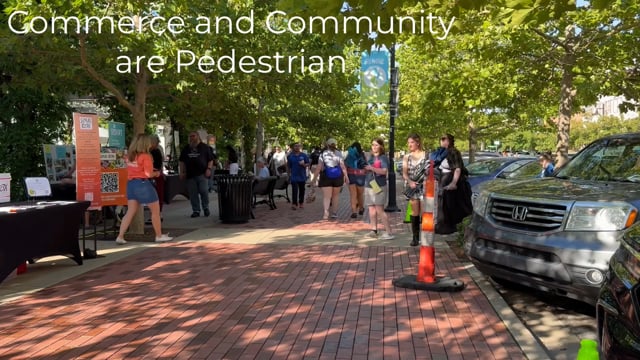
A city-scale network designed using crash data corridors and MeshMobility analysis. JPods guideways follow where the crashes are worst.
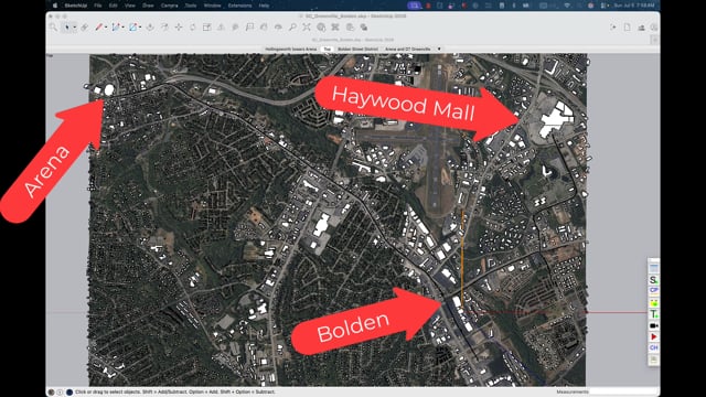
Connecting the Meadowlands — transit where density and traffic demand alternatives to highways.
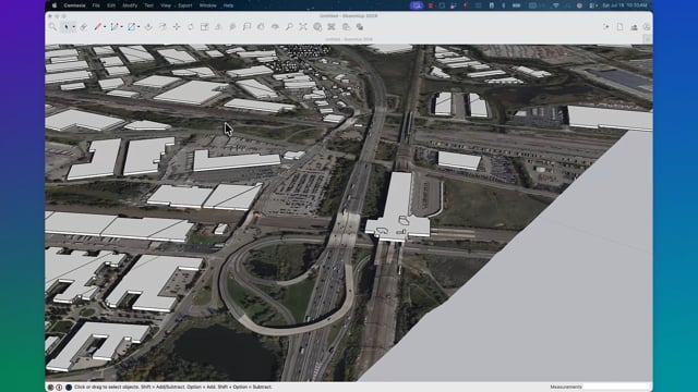
Mountain terrain challenges every transit system. JPods3D handles elevation changes with terrain-following guideways and variable-height columns.
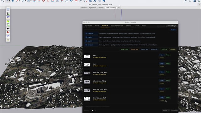
JPods is a circulatory system for a city. Blood does not run once a week — it runs continuously. JPods moves small packets streaming resources to where they are needed on demand.
JPods is the WiFi of the Physical Internet — station-to-station, neighborhood-to-neighborhood. Solar-powered guideways above the streets, 500 kg pods on demand. Last-mile modes (bikes, walking, scooters) bridge from stations to front doors.
Not just passengers. Pre-sorted goods from warehouses to neighborhood stations by day. Waste streamed continuously out of the city for sorting. Fresh waste sorted on arrival supports far higher recycling rates than weekly collection of rotted, compressed, mixed bags.
MeshMobility analyzes crash data, traffic counts, and census data to determine where JPods networks are needed most. Crash corridors become guideway corridors. Walk circles become station placement.
FARS fatal crash records mapped by location. Red circles show where people are dying on roads. Guideways follow crash corridors.
AADT data shows vehicle volume. High-count corridors with high crash rates are the strongest candidates for JPods networks.
15-minute walk radius from each station. When circles overlap with full coverage, the network serves the whole city. More doors, not bigger doors.
JPods3D runs in SketchUp 2026. Download the plugin, pick a city, and start building.